


The UN Overwhelmingly Votes to Back a Motion that Finally Adopt a Map That Shows Africa’s True Size
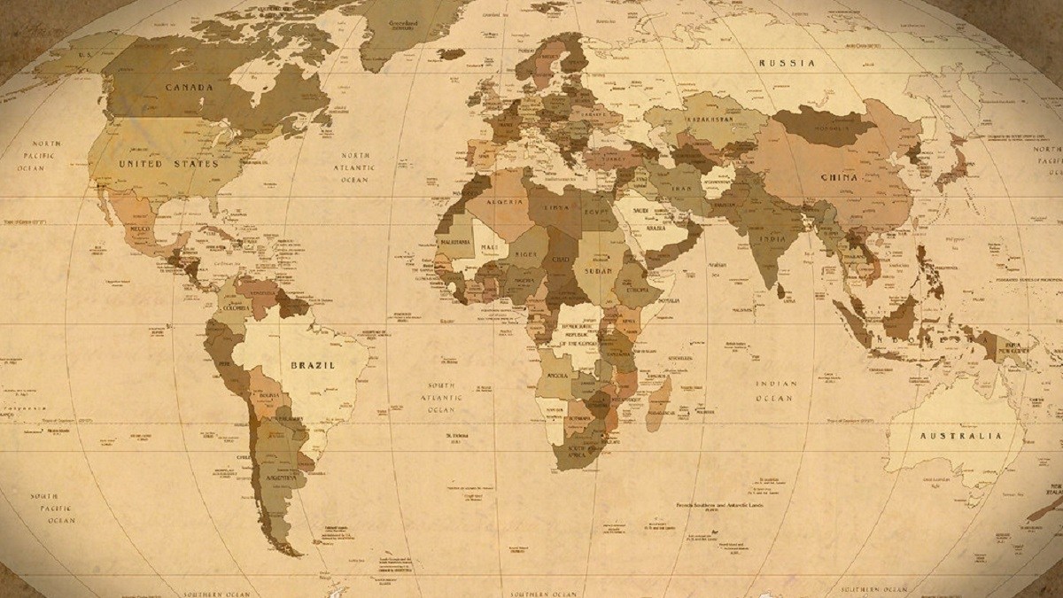
It’s time to say goodbye to the Mercator projection map as the United Nations overwhelmingly voted in favor of a motion that seeks to replace this familiar world map with one that shows Africa’s true size. The only vote against this motion came from the United States.
The UN is unable to make the universal decision that a certain type of map must be used, but the resolution that was voted on means that the UN will encourage and support the use of maps that show more accurate projections, such as the Equal Earth projection.
This resolution is called “Correct the Map,” and it was presented by Togo as the representative of the African Group, which consists of the 54 African member states that are part of the UN. The resolution passed with 164 votes in favor and one against. Six countries abstained.
The Mercator Map Problem
Created in 1569, the Mercator Map is what has been primarily used to show a flattened projection of the world for centuries. However, this projection distorts the size of continents, and land closer to the poles ends up appearing larger than it actually is. With this projection, Africa ended up appearing much smaller than it is.
The African Union took to X to celebrate this vote, saying that the world map will now properly show “Africa’s true scale, weight, and place in the world.” This was far from the only post celebrating the vote, as over four centuries of appearing smaller on the world scale is finally coming to an end for Africa.
Gerardus Mercator’s Map Served Its Purpose
Mercator, a Flemish cartographer, made his famous map with the intention that it would help sailors navigate the ocean, although that wouldn’t help on voyages like Royal Carribean’s Serenade, which faced technical issues once again.
BBC interviewed cartography professor James Cheshire about the map. Cheshire explained that Mercator designed the map so a straight line drawn on it would be like a straight line in reality from following a compass. Because of the requirements of the angles, Mercator had to stretch the poles, and that resulted in the distorted landmass sizes the UN is now addressing.
The Equal Earth map sacrifices the navigational abilities the Mercator map offered, but technology has improved so much that the Mercator map is no longer required for safely navigating the oceans. It’s served its purpose for a long time, but it can now be retired, unlike the ongoing issue of renaming lakes, like Lake Ontario, and other locations by a single person.
Have a tip we should know? [email protected]